Keep Your Project on Schedule With Our 3D Services
3D DATA COLLECTION
Artificial intelligence will stitch our scans into an accurate virtual replica of real life.
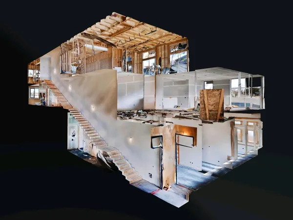

CGI
Computer-generated imagery for seamless integration of new objects, properties, and/or characters into your space.
2D RENDERINGS
Simple audio, video, and/or photography rendered into a virtual space faster than ever.

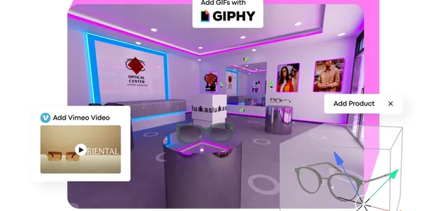
VIRTUAL STORE CREATION
Web stores are great, but 3D virtual retail stores are even better.
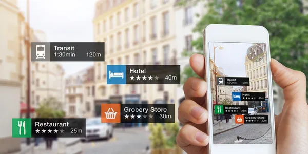
AUGMENTED REALITY
Next-generation augmented reality wayfinding for the
real-world metaverse.

3D FOR CONSTRUCTION
82% agree that a 3D walkthrough is better for communicating job site status.
ARCHITECTURAL AND ENGINEERING FILES
Our platform integrates seamlessly with Sketch up, Revit, AutoCAD, and other BIM software.

WHITE LABEL
Stand out from your competitors, and pitch this customizable platform and all our services as your own!
INTERNATIONAL MANAGEMENT
Let us handle the technical backbone for you!

Enhance Public Safety
Public safety agencies, from local police and fire departments to federal intelligence agencies, can create complete, 3D representations of incident scenes to increase collaboration, streamline workflows, and improve physical security for both employees and communities alike.
ENGAGE WITH CITIZENS AND COMMUNITY
The mission of federal civilian agencies and most state and local governments is to support citizens with information, services, and emergency response. Expanding a government program’s physical presence with a digital one broadens how these services can be offered and consumed.
Offer virtual access to high-interest landmarks, venues, and historic sites, available 24/7/365 Sustain continuity of operations during COVID, adverse weather conditions, or other disruptions Expand accessibility to visitors as well as special-needs/handi-capable people
FEATURE SOMETHING
Explore a digital twin of the retired USS Midway Aircraft Carrier.
Improve Facility Management and Operations
Matterport digital twins provide critical building intelligence, including measurements, dimensions, physical layout, real property locations, and other facility attributes that can decrease the cost of site surveying and as-built modeling by 80%.
File Creation BIM Files by Matterport
PRICING ESTIMATES
You will be given the option to include one or all of the following product scopes:
Our standard offering is only available for spaces up to 100K ft². Please contact support for spaces larger than 100K ft². Price estimates may change once the final square footage is calculated during BIM File creation.
Models categorized as “special consideration” may require price adjustments.
NUMBERS SUBJECT TO CHANGE
SPACE TYPES
Currently, accepting most space types, such as offices, homes, hotels, hospitals, retail spaces, and academic, institutional, and storage facilities. Certain space types may be considered “special consideration” due to their unique or complex elements (i.e., mechanical rooms, data centers, fulfillment warehouses, among others).
DOCUMENTS
Follow the link to download sample architecture, furniture, and MEP files (290 MB each).